
 Valuations
 Surveying
 Advice & consultancy
20 June 2023
3D laser scanning: precise measurement of buildings and architecture
The key to accurate construction plans
In Belgium, over 75% of buildings date from before the 1980s, meaning original construction plans are often unavailable. Yet reliable, detailed architectural drawings are essential for successful new builds, renovations, restorations, or conversions. How do land surveyors bridge that gap? With 3D laser scanning.
3D laser scanning captures buildings and architectural features using millions of measurement points. These measurements are then converted into construction plans in DWG format.
Looking for a professional 3D laser scan of a building?
Look no further, trust the experts at CC Experts.
CC Experts specializes in 3D laser scanning for a wide range of buildings and structures, including monuments, monasteries, churches, farmhouses, castles, shops, schools, offices, mansions, and townhouses. Our surveyors measure and draw both small-scale and large-scale buildings with the highest precision.
Contact us today for more information or request a free, no-obligation quote.
Learn more about our expertise in 3D laser scanning with a professional surveyor.
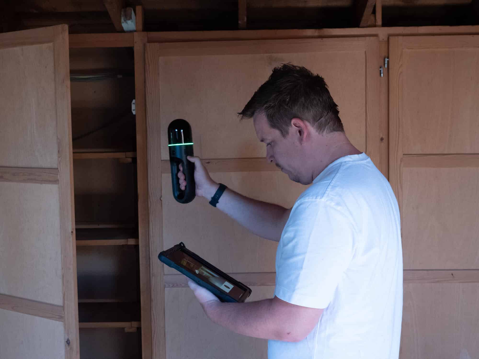
How does 3D laser scanning work?
From 3D scan to point cloud
3D laser scanning is an advanced technology that captures millions of measurement points, mapping buildings and architecture with unmatched accuracy and converting them into detailed construction plans.
The scanners create a virtual “point cloud” of the building, made up of millions of coordinates (X, Y, and Z axes). This process records the exact shape and position of every structural element. The result? An almost immediate 3D model of the building.
Panoramic photography
During scanning, high-resolution panoramic photos capture fine architectural details. These images can be viewed digitally, eliminating the need for multiple site visits. This allows you to explore and analyze a building thoroughly from the comfort of your desk.
Efficient 3D measurements
With 3D laser scanning technology, building users experience minimal disruption during surveying. Up to 15,000 m² of floor area can be measured in a single day. Because an entire building is captured in a point cloud within a short time, no additional on-site measurements are required later, even if extra plans are needed during the design process. This results in significant cost savings.
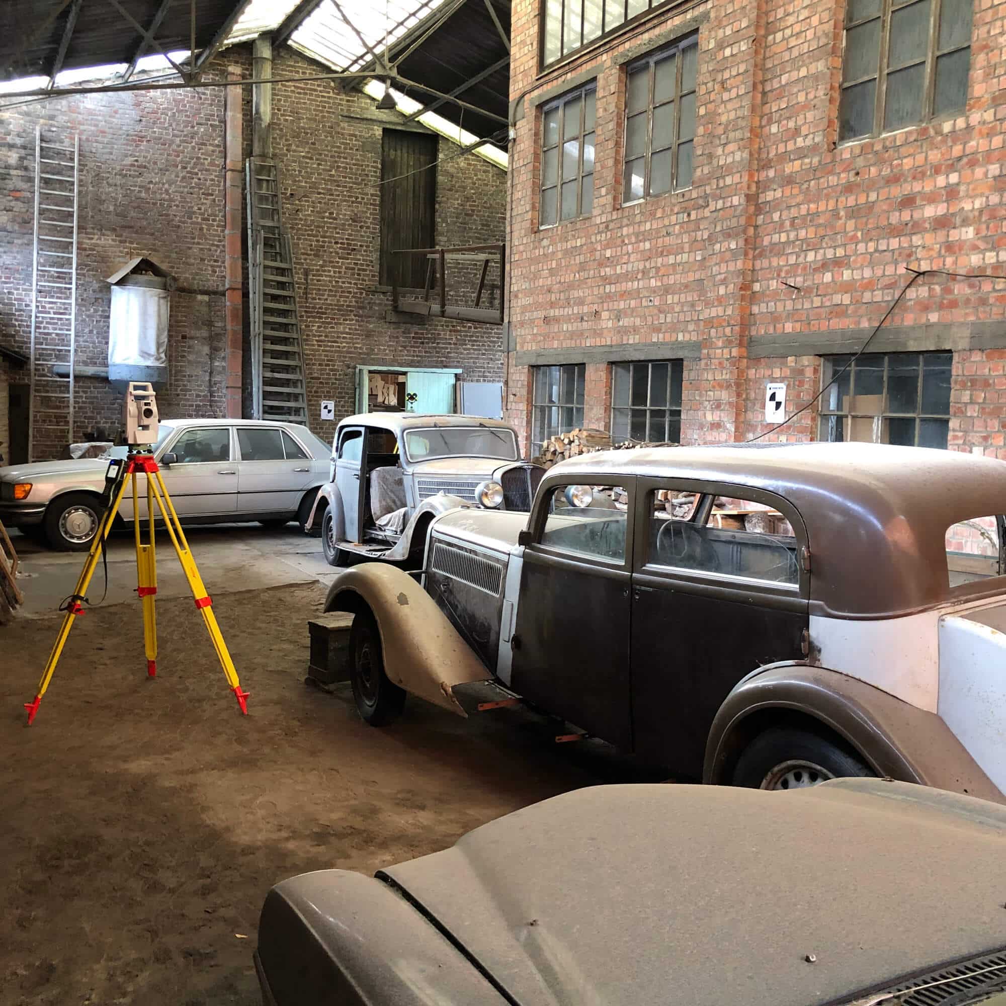
The surveyors at CC Experts work with both static and mobile 3D laser scanners from Leica Geosystems, including the RTC360, BLK360, and BLK2GO. To avoid any misunderstandings, it is important to clearly define in advance how the 3D output should be delivered. A point cloud is a highly valuable product, but it is not the same as an as-built plan in DWG format.
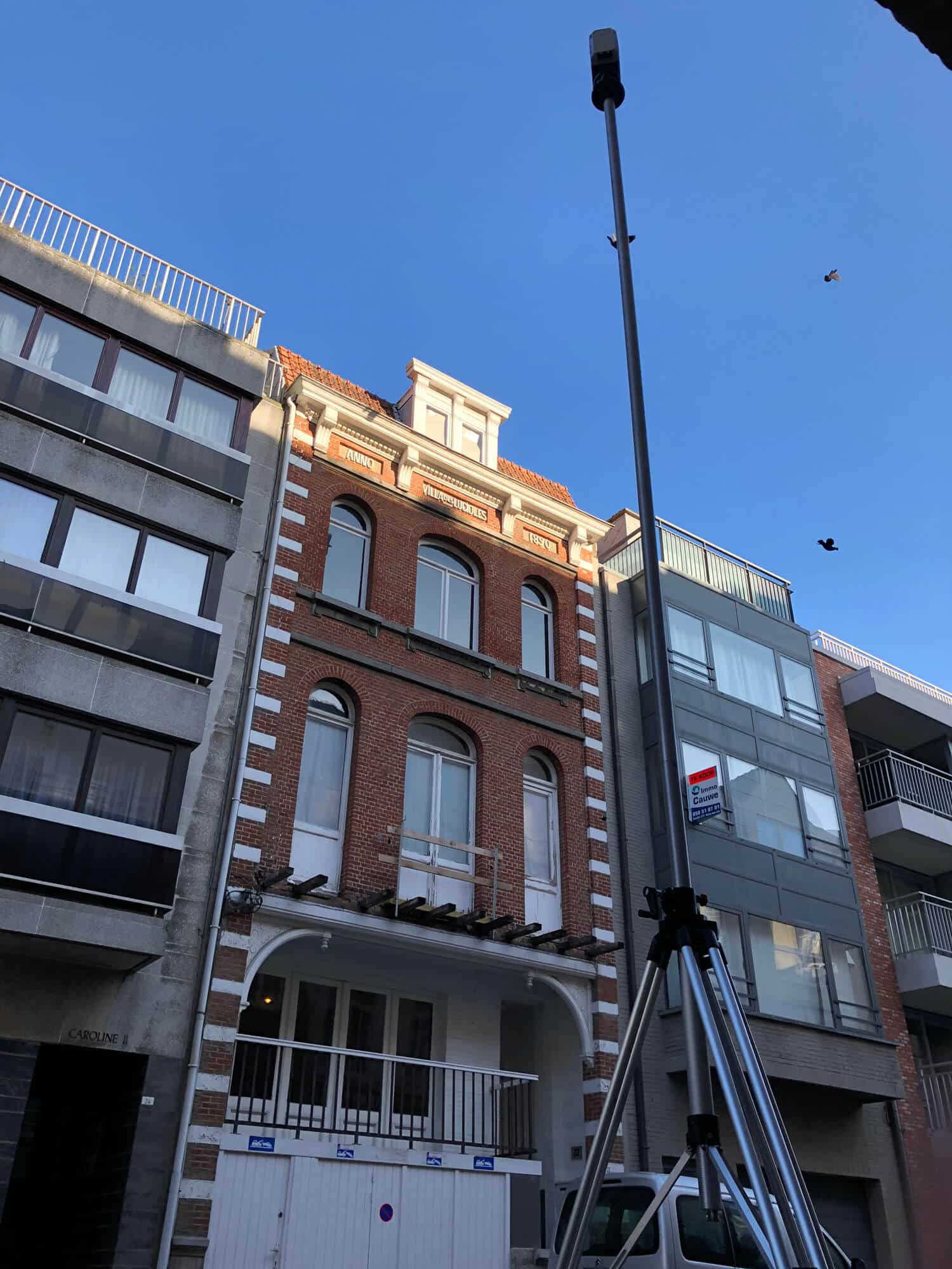
Available file formats for 3D scans
CC Experts can provide point clouds in a wide range of formats: In open-source formats, such as E57, PTS, XYZ, LAZ and in closed-source formats, such as Autodesk Recap, Leica Geosystems LGS. This flexibility allows you to use the point cloud directly within your preferred software, such as ARCHICAD, AutoCAD, Revit, InfraWorks, Inventor, BricsCAD, SOLIDWORKS, SketchUp, and more. Some prior experience with point clouds in your own software is recommended. Contact us today, we’ll be happy to advise you. Curious to see what a point cloud with high-resolution panoramic photos looks like in practice? Get in touch and see the results for yourself.
Accurate construction plans
A point cloud alone is rarely sufficient to develop a building project. It first needs to be processed and converted into a precise architectural plan in DWG format for property investors, owners, developers, architects, engineering firms, and contractors. From there, different types of plans can be created:
- A site plan with property boundaries
- Floor plans by level
- Roof plans
- Facade elevations
- Cross-sections and longitudinal sections
- Terrain profiles
- If required, building outlines including adjacent structures
Efficiency and cost control
The full 3D scan does not need to be converted into plans all at once. A building can be surveyed in its entirety within a short timeframe, and the required plans can then be delivered in phases as the project evolves. This phased approach ensures greater flexibility and better cost management.
Standards and requirements for permit applications
At CC Experts, our surveyors prepare construction plans in full compliance with the standards manual for digital environmental permit applications. This ensures that architects and design teams have all the required information at hand, allowing projects to start quickly and efficiently. With our reliable and precise architectural plans, potential design and execution errors are minimized, thanks to a thorough understanding of the building’s as-built condition.
Streamlining the design process
In practice, architects and contractors often prefer idealized construction plans, where elements such as walls, ceilings, windows, and doors are drawn at exact 90° angles. When drafting plans, our surveyors strike a balance between practical design and accuracy, with a maximum deviation of 15 millimeters from the point cloud.
In addition, CC Experts can create orthophotos of facades requiring restoration. These orthophotos serve as a reference for restoration, damage documentation, or archaeological purposes.
Our references
Our surveyors have completed a wide range of 3D laser scanning projects, including:
- An office building of 12,868 m² in the European Quarter, Brussels
- Offices of 10,309 m² near the Berlaymont Building, Brussels
- An 18th-century townhouse protected as a monument in Ghent
- A student residence with over 100 rooms in Ghent
- …
Discover our surveying services?
How much does a 3D laser scan cost?
The cost of a 3D laser scan depends on several factors: the size of the building, the types of construction plans required, and the project timeline.
For a detailed, project-specific estimate, contact one of our experts.